Showing posts with label Hiking. Show all posts

Friday, March 19, 2021

Kannonzaki Park

The iconic Kannonzaki lighthouse

I am quite grateful that this park is so close to my house in Maborikaigan. It’s one of my favorite places to run. It’s like one of those big houses that always had an extra trail or some ruins to explore. While it has a playground (and supposedly a big roller slide) both have been closed since we arrived in June 2020. It is also apparently movie-famous as the spot where Godzilla made landfall on this way to Tokyo and literarily famous as the spot where Gulliver landed.

Maps

The standard park map is pretty good and this park does a good job of putting it everywhere with the “you are here” markers.

The standard and ubiquitous park map

The naval base also makes a really helpful map that shows the sites in English as well as all of the parking lots with walking times to various sites.

Naval Base's map of the park

But I like my Google Map though for seeing where I am on my phone when I’m walking in the park.

Kannonzaik is blessed with many parking areas and side access trails. The prettiest of the main trails isa stone-paved trail that goes along the coast. The views are great - especially for a sunrise. On rainy days the stones and some of the bricks can get a bit slippery.


Stone lined coast path
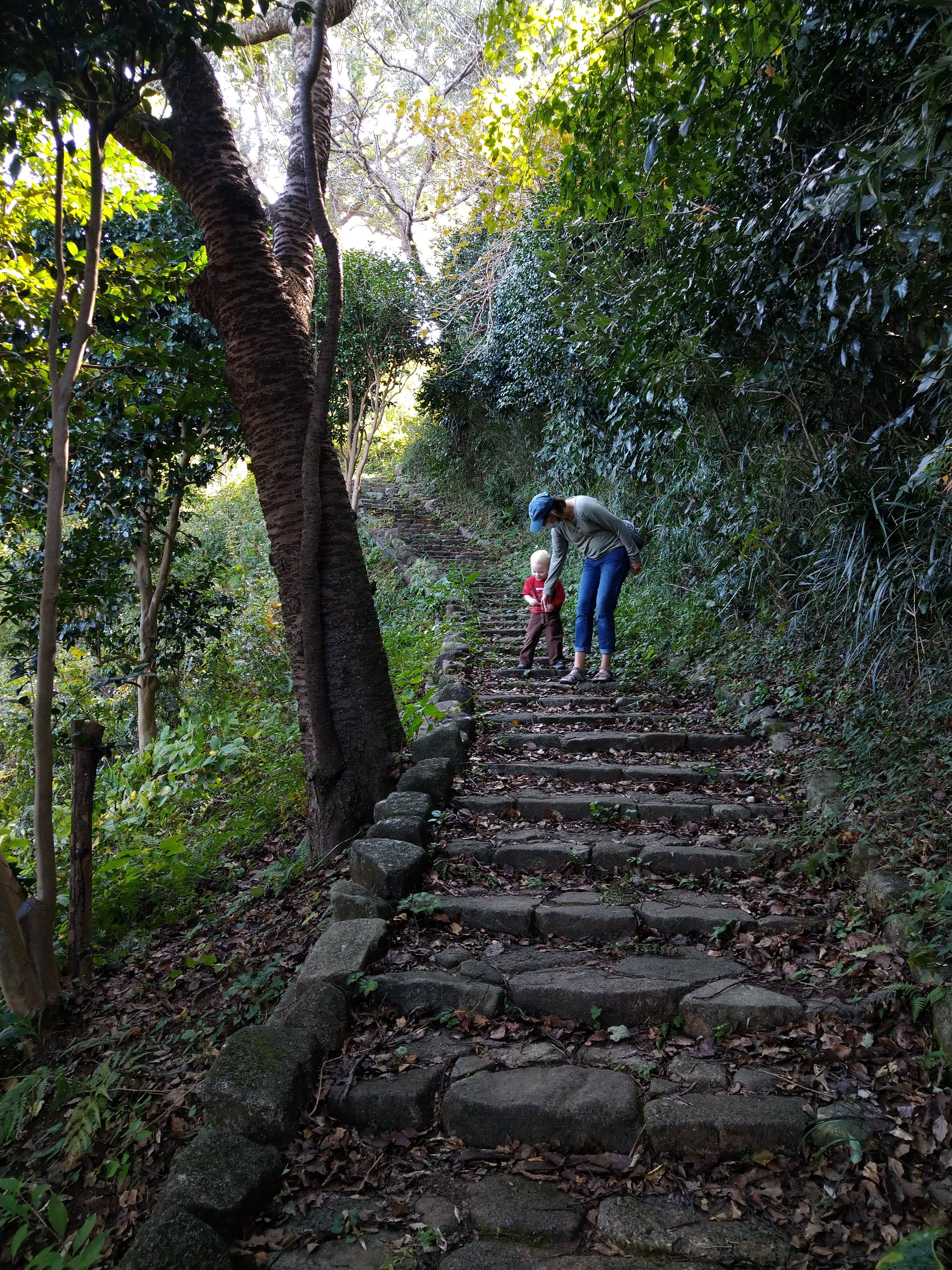
While it's hard to get lost on a path that follows the coast, it never hurts to have navigators.

I would consider the other main artery going from the lighthouse along the ridgeline of the park. This path hits many of the highlights of the park starting with the lighthouse and going past the sailors memorial, several old batteries, the playground and paths back to parking, the art museum and several other parks.

The main artery of the park
The brick paved path through the ridgeline of the park

What to do

Beaches

Kannonzaki Beach

The first beach, Kannonzaki Beach, is right at the main parking areas near the art museum and on nice days in the summer it fills up pretty quick. But the access is easy and parkings is free on weekdays and only ¥550 on weekends.

Kannonzaki Beach at sunrise

The second beach, Tatarahama, is near the Nature Museum on the south side of the point. This is the area where Godzilla made his landfall and you can still find his “footprint” nearby.

Tatarahama Beach

In the original Godzilla movie he made landfall at Kannonzaki. You can see the footprint on the northeast side of Tatarahama Beach. It went past it when I tried to find it because I was expecting it to be bigger (think more 2 story tall monster lizard instead of 9 story tall monster lizard) and to have some sort of commemorative plaque. It’s there (and kinda neat) but not necessarily advertised. On another fictional claim to fame, Kannonzaki is also apparently where Gulliver landed in part of his travels.

It's smaller than you'd think

Lighthouse

This is the iconic part of the park and well worth the steep but short hike. If the internet is to be believed, it is the first western style lighthouse in Japan. The easiest way to get to it is to hike along the stone line coastal path. Just past the bathrooms there will be a short steep trail up to the lighthouse.

Great place to catch the sunrise

Sailors at Sea Memorial

This is a beautiful monument that is striking and impossible to miss as you walk down the path. It’s worth the walk up the steps to look at the statue and views of the sea. From what I’ve gathered online it was built in 1964 to memorialize those lost at sea in marine accidents and wars. The main part of the memorial is supposed to evoke a sail fluttering in the wind.

Old batteries and fortifications

The park has remnants of the old batteries and fortifications built in the 1880s by the imperial army to defend Edo Bay. They seem to be everywhere and are great fun for the kids to explore and crawl around on. Or just to walk through and imagine what it would have been like when there were actual cannons mounted here.

North Gate 1st Battery Remains

Flower Park

This park is on the backside of the park from the main beaches and parking areas. It seems to be a spot that locals like to use for their morning walks. It has wonderful plum blossoms and flowers (as its name would suggest).

Nature Museum and Art Museums

Located right next to the park these make for good add-ons. Sadly they have both been closed since we’ve been here but I’m hoping they open before I leave.

Closed Trails and Playground

A couple of trails and the playground have been closed since we got here in the summer of 2020. I’ve heard rumors that it was due to a typhoon, but I have not yet found anything to confirm this. Indeed, the trail along the coast between the tunnel and the lighthouse just re-opened in the late 2020.

One of the highlights that folks are looking forward to seeing open is the giant roller slide. This is on the west side of the park near the pirate ship playground. There is a whole network of trails below this that is also closed that connect to the Hashirimizu neighborhood and come out near the shrine.

There is a pretty good map of what is closed and what is open on the park website:

Park Map of Closed Trails
Closed off pirate ship playground and rollerslide (nearby)
A bunch of beautiful closed off trails behind this building

Parking and Access

  • Weekdays: Free
  • Weekends: ¥550

Main Parking (Lots 1, 2 and 4)

These are the usual and most central lots if you want to go to the main beach or see the lighthouse.

Attraction Time to walk
Lighthouse 10 min
Nature Museum 10 min
Flower Area 20 min
Roller Slide / Forrest Lodge 25 min

East side / Tatarahama Beach Parking (Lots 5 & 6)

These lots give better access to Tatarahama Beach and the Nature Museum but you can still get to the lighthouse or roller slide if you’re willing to walk.

Attraction Time to walk
Lighthouse 15 min
Nature Museum 1 min
Flower Area 20 min
Roller Slide / Forrest Lodge 25 min

Museum of Art Parking

I haven’t gotten to park here yet but it looks like a good lot with some less-used trails that you can use for access.

Attraction Time to walk
Lighthouse 15 min
Nature Museum 25 min
Flower Area 15 min
Roller Slide / Forrest Lodge 20 min

National Defense Academy

The only trail not really shown on the park map happens to be one of my favorite access points - the hill that goes up along the back side of the National Defense University. You could probably park alongside the road at the top of the hill but I just use this to access the park when I run. Starting across the street from the Hashizaki Ryokuchi (Observation Deck) you go about 700 m up a steep hill with the National Defense Academy to the west.

My favorite back way into the park
Sunrise view from the observation deck at the base of the hill toward the back entrance

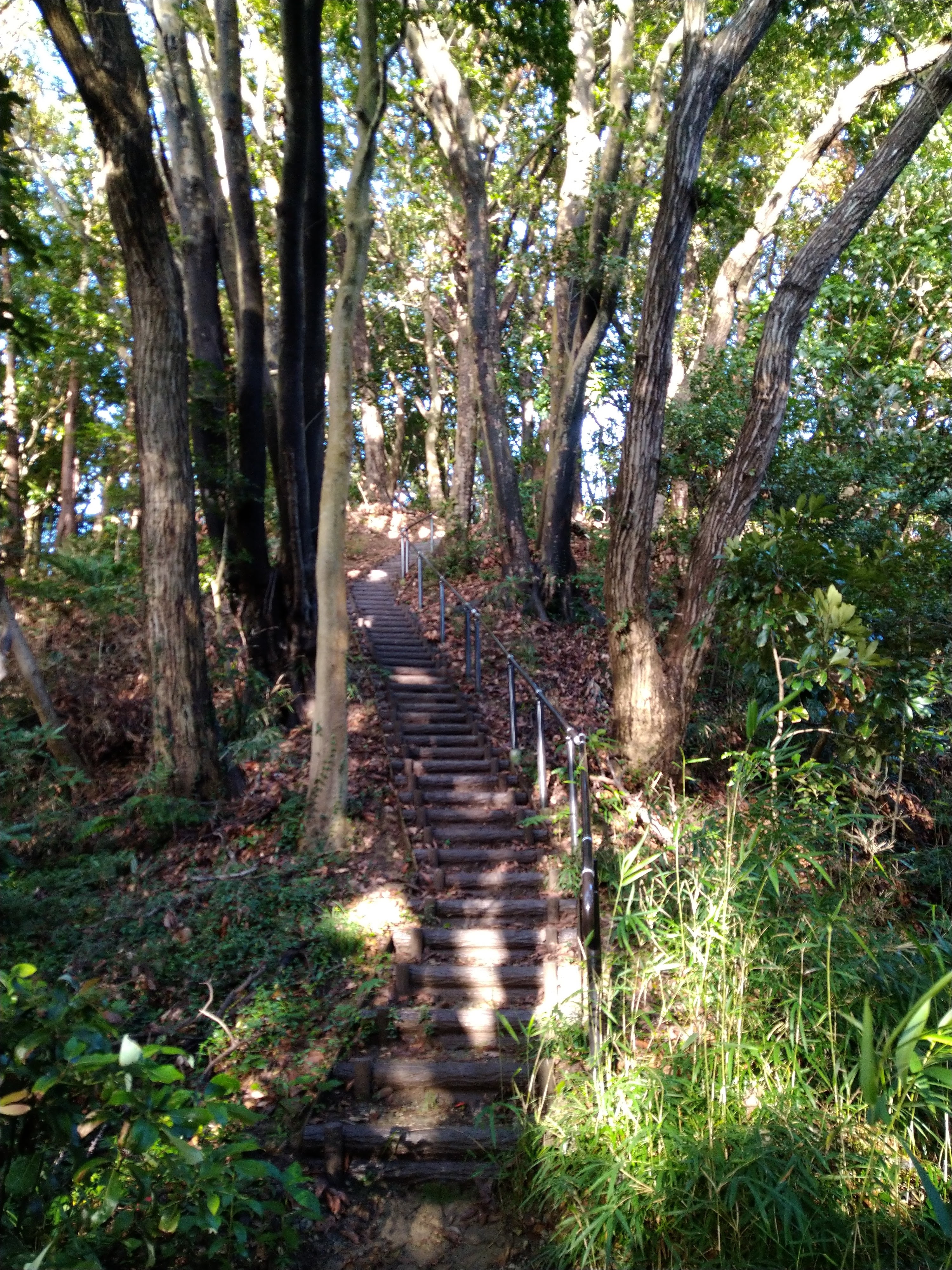
Just at the road dead ends at the top there is a single-track dirt trail that heads off towards the park. The dirt section of the trail is about 250 m long before you come out to the building near the Giant Slide and the paved section of the path.

East end of the single track trail that heads towards the National Defense Academy
Pretty single track trail

Thursday, February 4, 2021

Kinugasa Yama Park

Kinugasa Shrine, right outside the park entrance

I think this park becomes quite popular during the sakura, but the remainder of the year that I’ve seen so far it’s a beautiful secluded place to take the family and I love running through here. There’s a great park for kids (to include a really fun loop-de-loop climbing area) and two observation towers.

Maps & Trails

As with most parks there are decent rough maps of the park posted all over the place.

The standard park map

This park map is very accurate (as far as showing all the trails and how they connect to each outerh) but it doesn’t show where the trails come out or help with parking so I made my own Google Map. The blue trails are paved and the brownish-orange trails are unpaved. I’ve also included some trails for the Kinugasa Ruins on the other side of 27.

The main path from the entrance to the observation tower and playground loop are paved although it does have some slope to it in places. The main paved path splits about 170 m from the entrance with the left path going towards the observation tower (another 300 m) and the right path going to the playground loop (another 430 m). The playground loop itself is 410 m.

Main paved path through the park

The rest of the trails connect these two split paved paths or go off to various exits.


What to do

Playground

If you just look at Google Maps, this one can get a little confusing. It shows three playgrounds. I’ve run through here a lot and as near as I can tell the other two are just open areas without playground equipment. For kids you want to do a Google Map search for the southeastern-most one: わんぱくの森 (here).

Would the real playground please stand up

This one has a fun little mesh rope bridge that goes around the main structure. It also has nice shade on one side for watching your kids. You’ll often see school trips here of folks picnicking in the shade.

The boyz heading down the stairs to the park
Other end of the playground
Our kids loved the rope tunnels & bridges

Loop-de-Loop

On your way down to the playground from the main entrance you’ll walk by this big loop-de-loop rope tunnel. We almost just walked by this structure but our kids would not let us. It has a bit of sway to it, but it seems safe enough.

Yes, it's as much fun as it looks

Observation Deck

Like any self-respecting Japanese park with a hill, Kinugasa Yama also has an observation deck (Google Map search: 衣笠山公園展望台). It has great views of Fuji, Yokosuka and Kannonzaki Point. During the spring you could probably get some great shots of Fuji through the blossoms and new leaves.

Alita with a very faint Fuji-san in the background

Sakura Viewing Area

There are two beautiful orchards where you can see beautiful blooms in the spring. We have not yet done our first sakura so I might update this later. But even if you visit other times of the year, the main one has some neat wood carvings and it’s still a great area for a picnic. You can find one of the viewing areas with Google Maps by searching: 衣笠山公園上の広場 (here).

No blossoms in December? No problem for our kids.

Parking & Access

Main entrance

The best parking option is by the shrine. In Google Maps if you enter “Kinugasa Shrine” it will get you very close (you just have to drive past it another 100 m).

Kinugasa Shrine

The parking is just past the shrine on the left as you go up the hill. The lot is open from 8:00 - 17:00. It has 14 parking spots. Outside of the sakura, it’s a pretty quiet park and I’ve rarely seen the lot full before 10:00.

There is one bathroom and vending machine here and two other bathrooms in the park. The next one is 170 m down where the main path splits by the cherry tree groves. The third bathroom is down towards the playground.

There are some other parking places that I have not investigated but that may work in a pinch of during the busier times of year. I have run by several parking spots on my map but have not tried these ones out:

There’s a spot about 200 m down from the shrine. Using my phone’s translate function I think it’s overflow parking for the elderly during the sakura.

A surer option is a 4 -5 spot paid parking about 600 m / 10 min walk up the hill. It’s ¥100 / 20 min during park hours.

Bamboo Forest Access

This is one of the less traveled sections of the park but I think it’s one of the prettiest ways in and probably the quickest way to the playground. At the end of this residential street there are three parking spots.

Parking spots for the bamboo forest entrance

From this trail you walk about 185 m through a beautiful bamboo forest.

Then you come to a T intersection with one trail that heads north into another neighborhood. This is a good access option although the parking is not as good right at the trailhead.

To the south the trail takes you to another intersection. Going east will take you to the playground / playground loop. From parking to the playgroun is only about 400 m.

Going south will take you 300 m uphill to the observation tower. Most of the path is stone lined steps although some are the dirt and log steps that tend to wash out in places.

Ave / Ridgeline Trail

This is my favorite way to run into the park. Ridgeline trail is my own personal name - so don’t look for that translation from the signs. The parking area above is also right next to a ridgeline trial. I’d be tempted to park at the AVE Kinugasa shop but I’m going to guess that they monitor for Kinugasa Yama parking.

You’ll see a little statue and sign along the road. Turn and run up along the white fence, but keep going straight when the road bends. You’ll eventually come to a set of log stairs that are the official start of the trail.

Little shrine that marks the spot from the road
Sign for the trail. Go up and over the chains at the top

The trail is about 660 m and goes along a ridge. It goes by two picnic tables which always amuses me. In the in winter it’s a bit cold to picnic but when it’s warm enough to picnic the bugs are a little intense.

One of the picnic tables on the way up the ridgeline

The trail goes up and over a small knoll about halfway with some stairs on either side.

Stairway over the knoll

Just before the trail joins with another connector trail, you go along a wall with some nice views of the neighborhood.

Nice views of the neighborhood before you connect to the rest of the park

Neighborhood Access

At the northeast end of the playground loop there’s a 250 m gravel path that goes out towards the Kinugasa Hospital. This access is about a 4 min walk from some paid parking. If you just wanted to go to the playground this would be your easiest bet.

Route 27

This is not really main access so much as a connection to the Kinugasa Castle Ruins (which sounds a little more exciting that what is actually there). But if you enjoy trail running and want to connect to Mount Oogusu (大楠山) and trails beyond, this is your huckleberry. It’s steep and a lot of the dirt behind the log stairs has eroded. But I love that you can run through Kinugasa Park and connect to so many other great trails.

There is one spot just down the road toward the 16 Expressway intersection where I occasionally see cars parked, but I’m not sure about the rules and would be wary of parking there myself.

Friday, January 8, 2021

Takatoriyama Park


Takatoriyama Park had been on my local bucket list for a while. It’s a short 30-minute drive from where we lived in Maborikaigan to the parking area. For our family of three kids (2, 4 and 7) it was the perfect distance (800 m one-way as a normal person walks, or about 1 km one-way as our kids walks) and difficulty (paved walkway to the picnic area, then well maintained trails) with good views of the area and a big stone Buddha.

Driving & Parking

The parking takes a bit of figuring. A lot of directions online will tell to how to get to this park from one of several train or bus stations. This is a great option if you want to ditch the stress of driving but it does make for a longer walk. With our situation of young kids we opted for parking close and taking the shorter walk.

The parking takes a bit of figuring. A lot of directions online will tell to how to get to this park from one of several train or bus stations. This is a great option if you want to ditch the stress of driving but it does make for a longer walk. With our situation of young kids we opted for parking close and taking the shorter walk.

If you just Google “Takatoriyama Park” you we get an accurate point in the middle of the park area, but not one that is very helpful for getting you near a trailhead. After some helpful posts in some Facebook groups we found that there is decent and free parking near the trailhead. You can try and park right near the trailhead but there are really one two spots there. About 200 m away on the other side of the tennis courts and baseball field there is a nice park that has street side spaces for a good half-dozen cars. You can Google “Takatori Yama Climbing / Parking” to get right there.

Maps

I found the official map to be confusing - it’s not oriented north and it takes a lot of studying to match the features to where you are or a map.

Official Map

Map in the picnic area

So I made my own map on Google Maps. I put the trails and sites that we walked and saw in blue. I also tried to suss out trailheads and other trials using Strava heatmaps.

Short Hike

We started from the park / tennis courts. There's a vending machine and rest room nearby and a nice big sign. This path is paved and while a climb, it was easy enough for our young kids to do.

Vending machines and signage at the start of the hike

You go by one cutoff trail that gives more direct access to the climbing area but also has some paintings that are worth stopping for.

Cool paintings along the way

The paved path goes by one set of stairs that goes up to the observation tower. We saved that for later and went to the picnic area.

Stairs up to the observation tower from the paved path

Picnic Area

The central area of the park and kinda the hub on the wheel. You can also find restrooms and a vending machine here to go with some stellar picnic table views.

Central picnic area with great views of the bay
Vending machines and bathrooms

Big Stone Buddha

From what I could tell online this stone Buddha was carved in the mid 1950s. While not as old as the Kamakura Buddha, it’s still an impressive statue in a beautiful location. From the parking, it was only about 750 m. The path to the Buddha has some great views as well.

Path from the picnic area to the Buddha
Trygve surrenders the views
Advantage of hiking in January: no hornets!

There is a path that continues on past the Buddha down to the intersection near the elementary school.

Observation Tower & Climbing Area

From the Buddha we went back to the hub / picnic area and over to the observation tower. The tower has great views of Fuji, Kannonzaki Point and the whole area.

View to the southwest - west. Fuji is behind the power poles.
View to the northeast
View to the southeast

We thought about eating at the picnic area but our kids were more interested in watching the rock climbers.

Some older locals enjoying a pitch

There are so many other places we want to check out that I don’t know that we’ll get back here, but this is definitely one we’ll recommend to folks.